An introduction to Taiwan through landscapes, languages, institutions, industry, and real cases.
Taiwan is an island where high mountains meet the coast, and a society held together by many memories, languages, institutions, and industries.
Begin with the place on the map, then follow the terrain into cities, food, transport, work, and public life. This site uses checkable sources and concrete cases while keeping different names, historical experiences, and community perspectives in their own contexts.
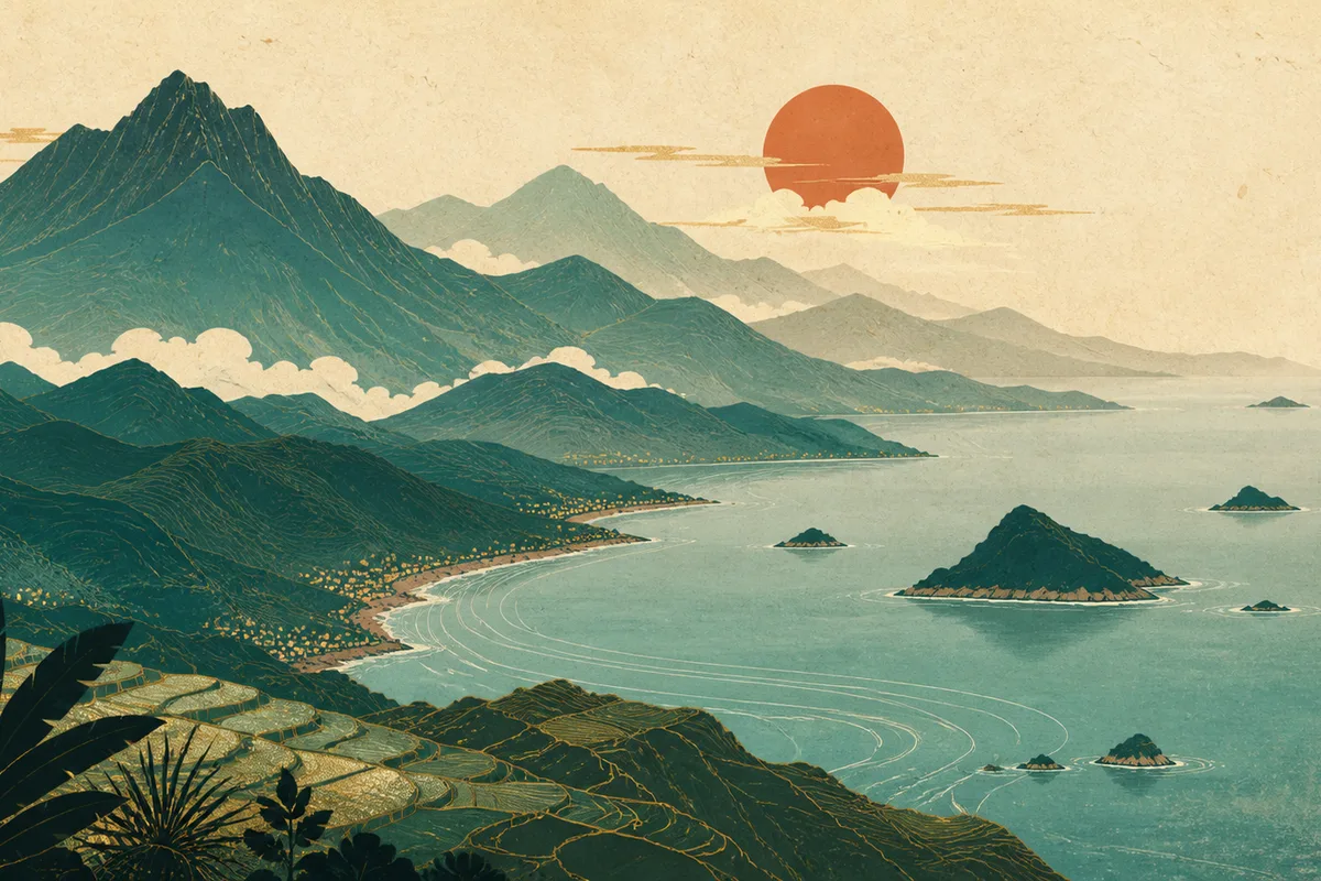
The Central Mountain Range runs through the main island. Western plains hold dense cities and industry, while eastern mountains, valleys, coastlines, and outlying islands keep a different scale. Short distances contain large changes in terrain.
Many languages in one society
Indigenous peoples, residents whose families arrived in different periods, postwar households, and people who moved from around the world all take part in life today. Mandarin, Taiwanese Hokkien, Hakka, Indigenous languages, sign language, and migrant languages appear in different settings.
Institutions and industry in daily life
Elections, local government, courts, public health, semiconductor manufacturing, high-speed rail, and night markets are all parts of Taiwan as it is lived. Island identity exists in maps, but also in the details of institutions and work.
Several known layers of Taiwan
“Taiwan” can refer to a geographic place, an island group, a society operating under its current system of governance, and a name used in language, memory, and everyday life. Keeping these layers distinct makes the introduction more precise.
Layer
Established context
Everyday expression
Geography
The main island lies in the western Pacific, east of the Taiwan Strait, with Penghu, Kinmen, Matsu, Orchid Island, Green Island, and other islands nearby.
Mountains, plains, ports, rivers, and coastlines shape settlement, transport, and industry.
Society
Indigenous peoples, residents who arrived in different historical periods, new residents, and migrant-worker families all participate in life today.
Markets, schools, factories, households, and neighborhoods carry many languages and migration histories.
Governance
The administrative, legislative, judicial, and local institutions of the Republic of China operate on the island.
Elections, law, local construction, and public services bring institutions into ordinary routines.
International context
Taiwan’s names, representation, and international status are described differently because history, diplomacy, and political positions differ.
A careful introduction separates geography, governance, naming, and personal identity instead of treating them as one claim.
Taiwan through real cases
Abstract terms become clearer when they land in events, infrastructure, and people’s routines. These cases show how public institutions, transport, technology, and disaster experience work together to shape Taiwan.
Marriage-equality legislation in 2019
Judicial Yuan Interpretation No. 748 recognized equal protection for same-sex marriage. The Legislature passed an implementing act in May 2019, and registration began on May 24. The case connects constitutional interpretation, legislative procedure, social movements, and family life, showing how a democratic system responds to a rights dispute.
Taiwan High Speed Rail in operation since 2007
High-speed rail links the major cities along the western corridor. Commuting, returning home, education, business, and tourism now share one dense transport system, reorganizing the practical distance between mountains, cities, and ports.
Hsinchu Science Park and wafer manufacturing
Hsinchu Science Park brings research institutions, engineering talent, factories, suppliers, and urban life into one regional cluster. Semiconductor manufacturing therefore becomes a lived issue involving local jobs, water and energy, education choices, and global supply chains.
The disaster-prepared society after the 1999 Chi-Chi earthquake
The Chi-Chi earthquake made building safety, school drills, earthquake monitoring, community mutual aid, and reconstruction long-term public work. Taiwan’s mountains and coasts coexist with earthquakes, typhoons, and landslide risk, so disaster preparation belongs to everyday institutions rather than to an appendix.
Images as evidence-led entry points
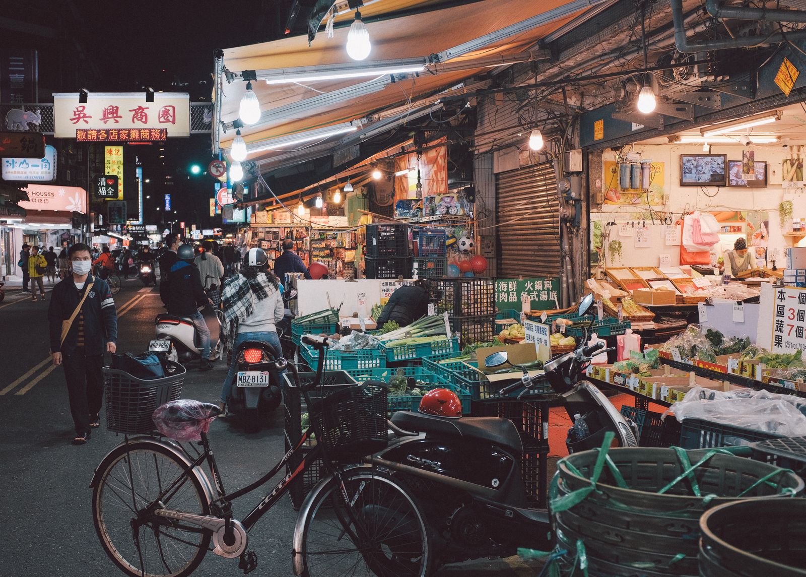
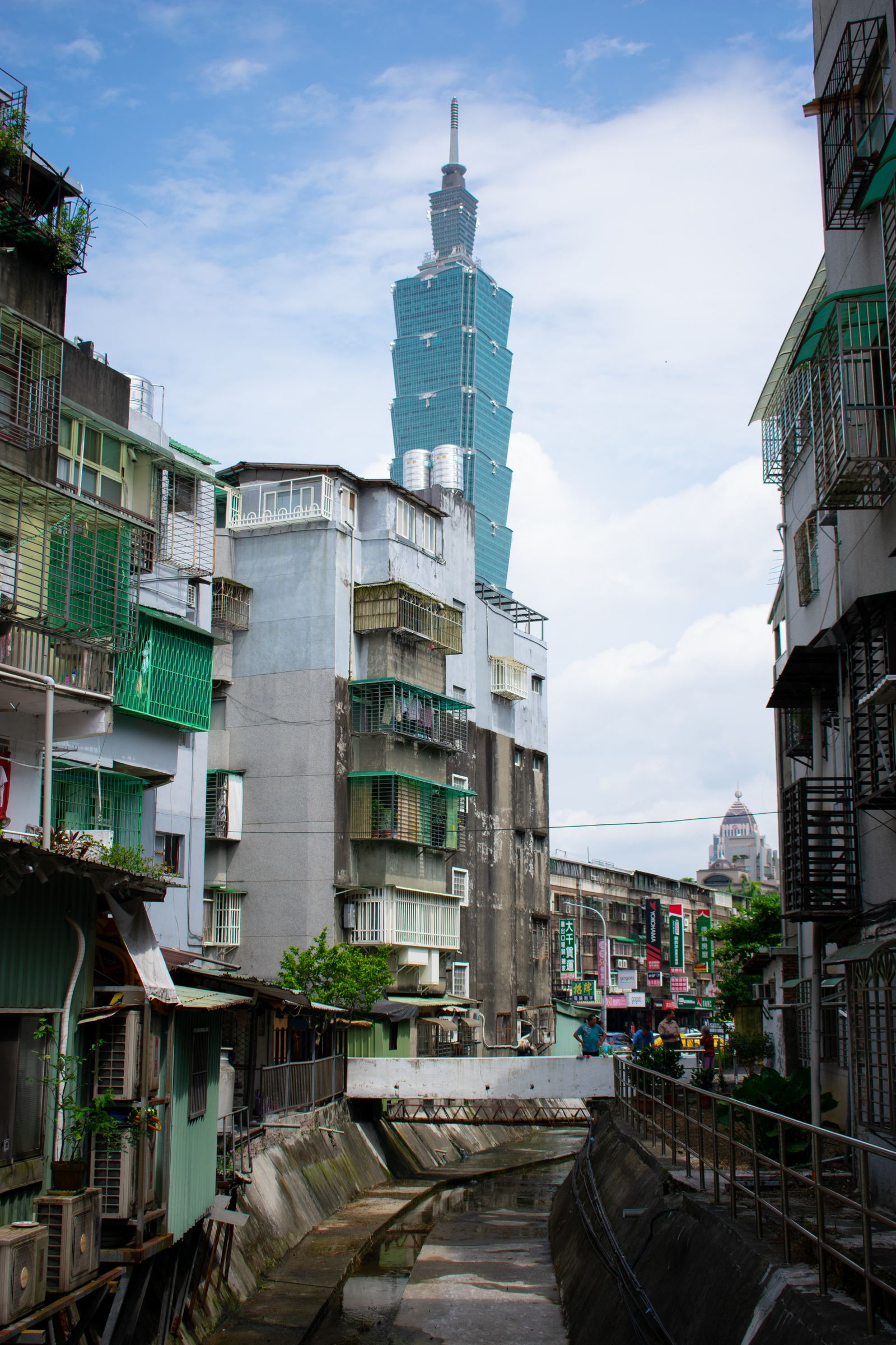
Maps and satellite images show the island’s shape and scale. Photography brings cities, transport, and the night economy back into human view. The site keeps Wikimedia Commons public-source images and adds Pexels photography, with the original page, creator, and usage note beside each image.
01
Locate the island first
Source: Taiwan relief location map (Uwe Dedering; CC BY-SA 3.0; used for geographic location and terrain reading).
Generative tools can quickly organize material about geography, language, history, and travel, but introducing Taiwan is not a matter of stacking facts. A trustworthy introduction states where its material comes from, where names have different uses, and where communities should speak in their own voices. The editorial
My view is clear: Taiwan cannot be reduced to one label
To understand Taiwan, place its island geography, democratic institutions, semiconductor economy, and plural everyday life in the same frame. The field guide follows checkable places and events to show how these forces form Taiwan today.